
A few days before hiking to the Top of the Giant, I spotted Sleeping Giant Provincial Park from 20,000 feet in the air.
The clouds cleared over Lake Superior, revealing the long, unmistakable silhouette of the Sleeping Giant stretching into the water near Thunder Bay.

From above, Lake Superior looked endless — more like an ocean than a lake — and the cliffs of the Sibley Peninsula rose sharply from the shoreline. Even from an airplane window, the scale of the landscape was hard to comprehend.
A few days later, I found myself standing on top of those same cliffs.

Top of the Giant Hiking Guide: Sleeping Giant Provincial Park’s Ultimate Bucket List Adventure
If you’re considering tackling this bucket-list trail, here’s everything you need to know before you go.
This blog was created from a visit to Thunder Bay in partnership with Tourism Thunder Bay. As always, all thoughts, opinions and suggestions are authentically and genuinely my own.
There may be affiliate links in this article that support my small business at no extra cost to you.

Quick Facts: Top of the Giant Trail
- Distance: 21.8 km round trip
- Difficulty: Difficult due to length
- Elevation Gain: 300+ metres
- Trailhead/Start: South Kabeyun Trailhead
- Time Required: 6–9 hours depending on pace and stops
- Park Pass: A valid Ontario Parks day-use permit is required.
- Cell Service: None on the trail, WIFI at the trailhead
- Dogs Allowed: Yes, on leash
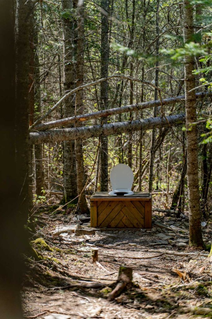
- Bathrooms: Trailhead outhouses. Open pit thrones are along the route, often at campgrounds. Bring your own toilet paper
- Best Season: Late spring through fall
Top of the Giant Hike Overview
Standing on the highest cliffs in Ontario with Lake Superior stretching endlessly below, it’s easy to understand why the Top of the Giant is considered one of the best hikes in the province.
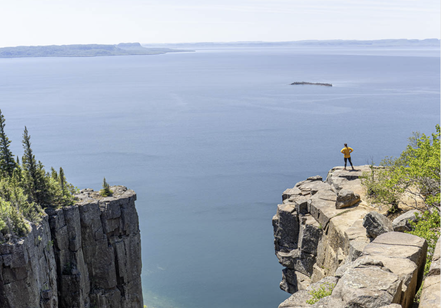
The 21.8-kilometre round-trip route inside Sleeping Giant Provincial Park takes hikers through the boreal forest before climbing onto the highest continuous vertical cliffs in Ontario, about 385 metres high.
It’s a long day, but it’s also one of those rewarding hikes that is worth the time and effort it takes.

Sleeping Giant Trail Distances and Details:
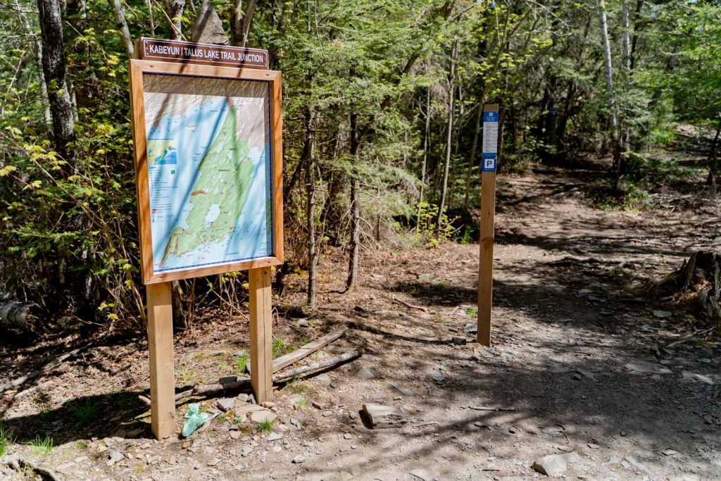
The trail to get to the Top of the Giant starts at the South Kabeyun Trailhead and is called the South Kabeyun Trail. There are several junction points along the way to be aware of to get to Top of the Giant lookout.
Below are the trail sections you’ll be hiking on and their one-way distances.
South Kabeyun Trailhead to the Trail Junction – 6.7km
Trail Junction to Top of the Giant Trail Junction – 1.8km
Top of the Giant Junction to Top of the Giant – 3.3km
– Top of the Stairs – 1.2km
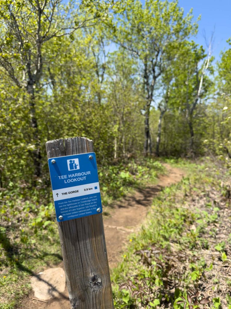
– Tee Harbour Lookout – 2.4km
– Gorge Lookout – 3.3km
Sea Lion Lookout: The Sea Lion lookout is only an 800-metre round-trip addition if you’re already hiking the Top of the Giant trail.
The round-trip from the South Kabeyun trailhead to the Sea Lion lookout and back to the trailhead is 2.4 kilometres.
READ MORE: An Outdoor Adventurer’s Guide to Thunder Bay

Where is Sleeping Giant Provincial Park?
Sleeping Giant Provincial Park is just over an hour, or 82 kilometres, east of Thunder Bay. It’s off the Trans Canada Highway #1 and on Highway ON-587 on the Sibley Peninsula on Lake Superior.
What is the Sleeping Giant?
The park gets its name from the massive rock formation (the 52 kilometres by 10 kilometres Sibley Peninsula) that resembles a giant lying on its back in Lake Superior, specifically when viewed west-northwest from the city of Thunder Bay.
There are various First Nations legends describing the Sleeping Giant as the spirit character Nanabijou (Nanabozho) who was turned to stone while protecting a silver mine under his feet.
How was Sleeping Giant formed?
The Sibley Peninsula was formed by a series of magma intrusions 1.1 billion years ago that weathered over time to form a series of mesas.
Is the Top of the Giant Hike Worth It?
For those who love to be outdoors, in nature, and aren’t dissuaded by a trail that takes some time and effort, the hike is absolutely worth it.
The dramatic cliffs and a unique perspective atop the famous Sleeping Giant formation are the reward after the nearly 11-kilometre hike to the top. It is a bucketlist hike to accomplish in Ontario.


What is the Top of the Giant Trail Actually Like?
Many people see the “difficult” rating and assume the climb is relentless. Most of the route, until the junction at 6.7 kilometres, follows the South Kabeyun Trail, which is relatively flat on a double-wide route that is easy walking through forest.
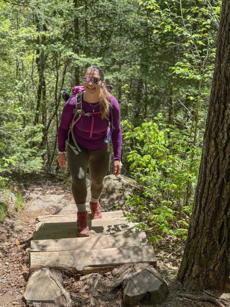
The real climbing begins when you reach the junction for the Top of the Giant Trail. This final 3.3-kilometre stretch contains most of the elevation gain, about 300 metres, and features rocky terrain, roots, and several wooden staircases. Thankfully, the staircases make the ascent easier than it might otherwise be.
There are several spots to stop and take a break, including a shaded rest point next to a creek and the Tee Harbour lookout where you’ll find a bench to rest.
The trail itself is exceptionally well maintained and easy to follow.
One thing I appreciated was the signage. Not only are junctions clearly marked, but many distance markers include interesting facts about the geology, geography, and history of the area.
When Should I Start the Top of the Giant Hike?
Because this is a full-day hike, I recommend starting as early as possible, especially during summer. Not only will temperatures be cooler, but you’ll have plenty of daylight to enjoy the viewpoints without feeling rushed.
My Best Tip for Hiking Sleeping Giant: Bring a Mountain Bike
Please note: Sleeping Giant Provincial Park does not offer bicycle rentals within the park.
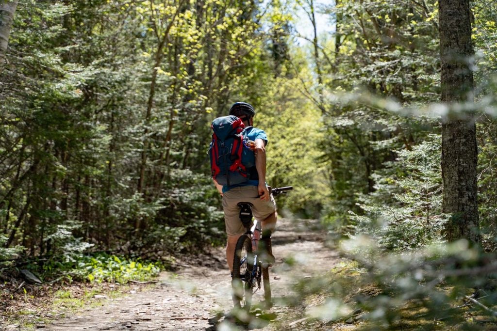
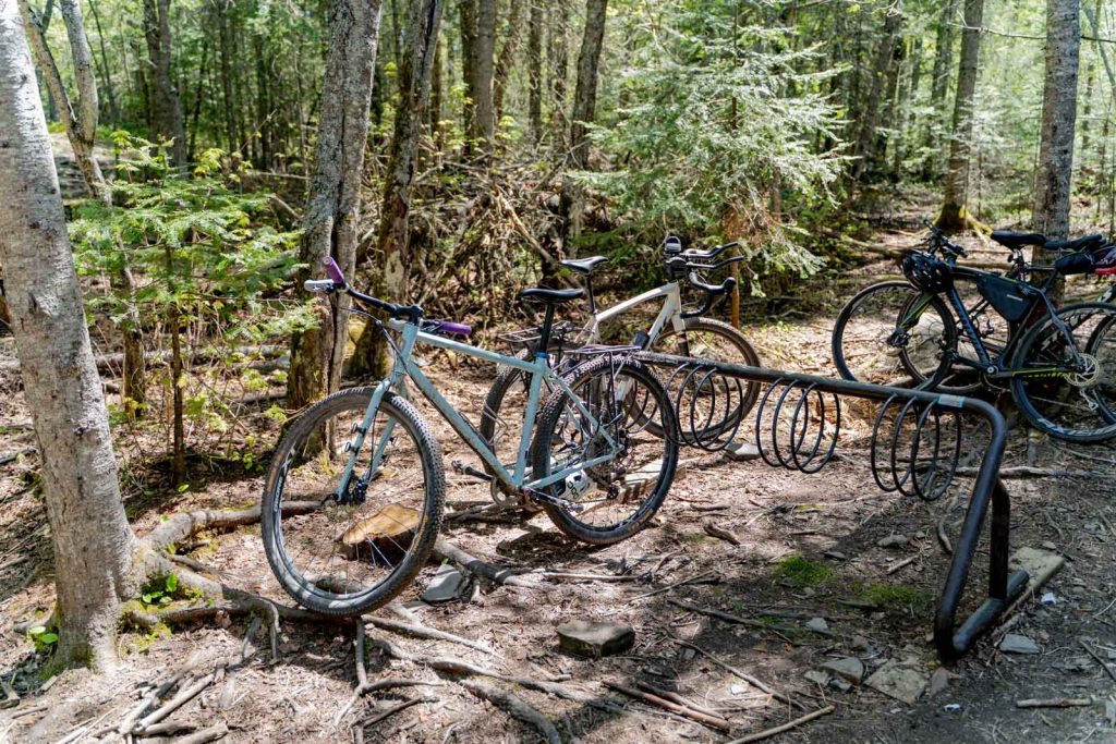
If you have access to a mountain bike – by bringing your own or renting in Thunder Bay – this might be the single biggest game changer for the hike.
The long approach on the South Kabeyun Trail is relatively flat and wide. By biking the 6.7 kilometres to the junction where the climbing begins, you can eliminate 13.4 kilometres of walking roundtrip and save a significant amount of time and energy.
The park even provides a bike rack near the trail junction, so bring a lock and stash your bike before heading up the trail.
If I were to do the hike again, I’d bring a bike, without hesitation.
READ MORE: 10 Things I Love About Canada

The Views at the Top of the Giant in Sleeping Giant Provincial Park
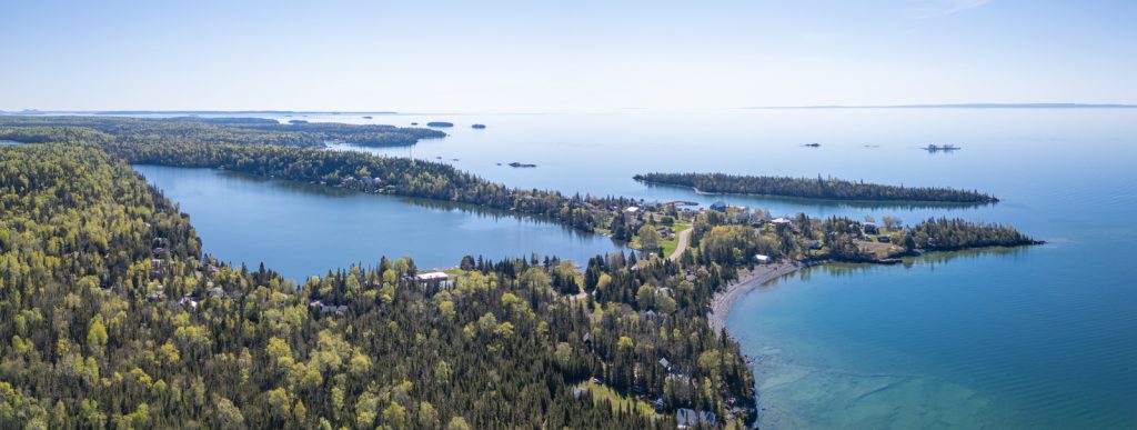
The views begin before you reach the summit. As you climb, several lookouts provide sweeping views of Lake Superior and the islands scattered offshore.
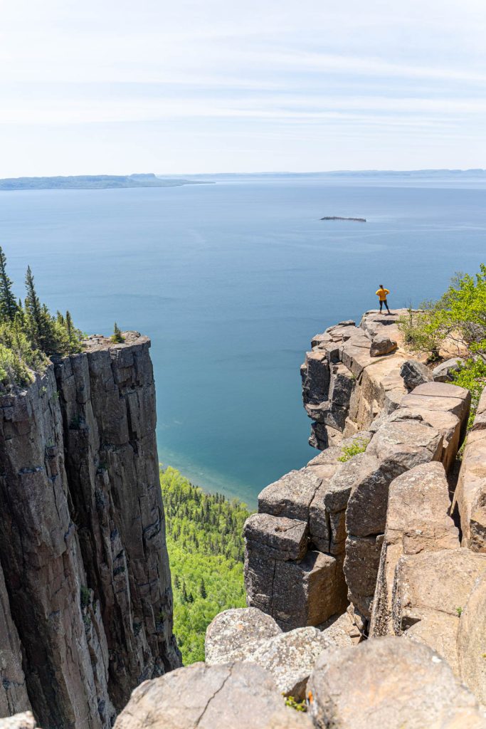
The real showstopper is the gorge at the Top of the Giant itself. But prepare yourself if heights give you vertigo, as the cliffs are massive.
Standing near the edge of Ontario’s highest vertical drop is both exhilarating and slightly intimidating. Huge slabs of rock jut out over the landscape, and from a distance you can see how centuries of freeze-thaw cycles have fractured the cliff faces into dramatic leaning block formations.
One thing that surprised me is that the final approach doesn’t immediately reveal the cliffs. You walk through a section of forest before emerging onto the exposed rock. From here, you can wander as you like (but stay a healthy distance from any edge and please remain on the trail).
You’ll want to unpack your lunch and take your time enjoying the views. On a clear day, you can even see Thunder Bay in the distance.
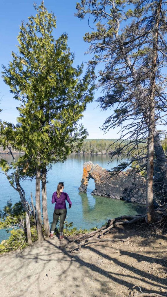
Is Sea Lion Rock Worth the Detour?
Yes, Sea Lion Rock is worth the detour.
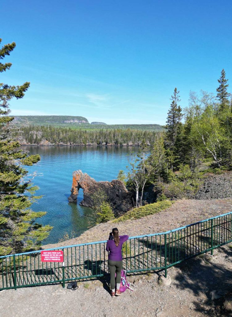
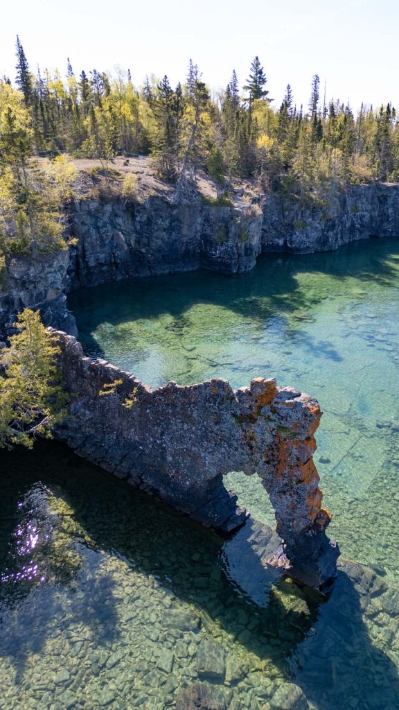
This is one of the most unique viewpoints in the park. The Sea Lion Rock formation was named because it resembled a lion sitting on its haunches looking out into Perry Bay, before the Sea Lion’s head broke off in the early 1900s. The Sea Lion is about 7.5 metres tall and extends 15 metres out into Lake Superior
From the viewpoint, you can look down at the massive rock pillar surrounded by incredibly clear turquoise water. Compared to the dramatic cliff views at the Top of the Giant, Sea Lion Rock feels quieter and more intimate, and it ended up being one of my favourite stops of the entire day.
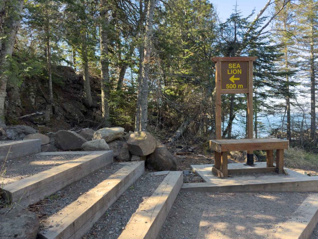
To add the Sea Lion lookout to your Top of the Giant hike, it’s an additional 0.8 kilometres round trip from the Sea Lion junction on the South Kabeyun trail.
The trail to the Sea Lion Rock is marked by an easy-to-spot sign that doubles as a bench.
Navigating the Top of the Giant Hike
The trail is very easy to follow, but I still recommend downloading an offline map before heading out and carrying a paper map with you.
Cell service is limited and mostly non-existent along the trail.
South Kabeyun Trailhead Parking Lot Wi-Fi
One feature I loved was the free Wi-Fi available at the trailhead. Since there’s no cell service on the hike, it’s a great place to buy your park pass, download maps, or let family know you’ve finished safely.
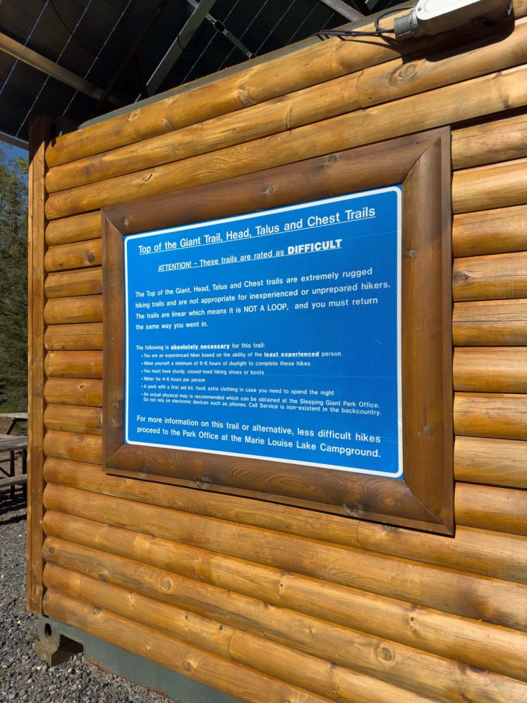
Can beginners do the Top of the Giant hike?
If you regularly hike and are comfortable spending six to nine hours on your feet, you’ll find the hike long but manageable. The challenge comes from the distance rather than steep or technical terrain.
If you’re new to hiking, I’d recommend building up to shorter hikes before attempting the Top of the Giant.

What to Pack
As always, I recommend packing the 10 essentials, including navigation, nutrition, hydration, sun protection, insulation, illumination, first-aid supplies, fire starter, emergency shelter, a communication device, and repair kit and tools.
Make sure to Leave No Trace and pack out what you carried in.
Water
I drank approximately 2.5 litres during my hike and nearly finished it all. There are a few places where you can filter water, including backcountry campground access points that provide easy access to Lake Superior and the creek on the on the Top of the Giant trail section. But I found it easier to simply carry enough for the day.
Toilet Paper
There are several outhouses along the route. There is not, however, any toilet paper. Bring your own.
Hiking Poles
If you use poles, bring them. The elevation isn’t extreme, but poles make both the climb and descent more comfortable.
I recommend a foldable design which makes it easy to attach to your bag when you’re not using them.
Battery Pack
There is no cell service on the hike. Put your phone into airplane mode and bring a battery pack if you plan to take lots of photos.
This small battery pack is lightweight and will charge your phone several times.
Bear Spray
Sleeping Giant Provincial Park is in black bear territory. I stopped at the park office before I left to get current updates. No bears had been spotted on the trail, but I did see a bear near the entrance to the park, so they’re out there.
Carry bear spray if you’re comfortable using it, make noise while hiking, and properly store food if you’re camping.

3 Things That Surprised Me About the Top of the Giant Hike
- The terrain isn’t especially technical.
Aside from a few rocky sections near the top while you’re hiking on the elevated part of the 3.3km Top of the Giant Trail specifically, the terrain is straightforward. The challenge comes from spending an entire day on your feet. - There are more facilities than I expected.
Bathrooms appear at several locations along the route, including major trail junctions and backcountry campground sites, and there are benches and resting spots near some viewpoints. The parking lot has WiFi. - The finish feels longer than expected.
The stretch from Sea Lion Rock back to the parking lot includes several rolling hills that somehow feel steeper at the end of a 22-kilometre day. I popped in my earbuds and listened to an audiobook to keep me company on that final stretch.
Final Thoughts on the Top of the Giant Hike
The Top of the Giant isn’t the hardest hike I’ve ever done, but it is on the longer end.
If you’re reasonably fit, start early, bring enough water, and pace yourself, the trail is very achievable.
And when you’re sitting atop Ontario’s highest cliffs looking out across the endless blue of Lake Superior, every kilometre is worth it.
For hikers visiting Thunder Bay, this isn’t just the signature hike of Sleeping Giant Provincial Park — it’s one of the best day hikes in Ontario, Canada.

One Reply to “Top of the Giant Hike Guide: Hiking in Sleeping Giant Provincial Park”