In Saskatchewan, we’re fortunate to have access to vast kilometres of crown land, national, provincial and regional parks to recreate within. This means we have plenty of space for genuine off-the-grid backcountry hiking and camping experiences.
If you’re wanting to get into backcountry hiking, I’ve put together a guide that includes some of the best backcountry hikes in Saskatchewan and a few details you’ll want to be aware of when starting out.
Backcountry Hiking
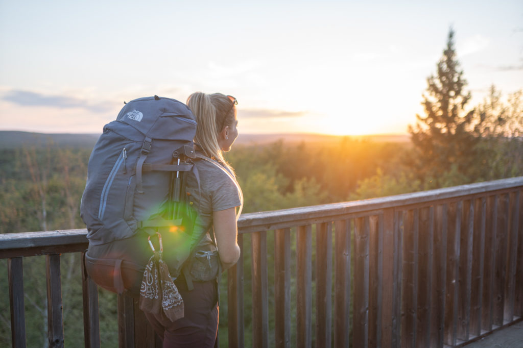
Backcountry hiking experiences often occur in destinations that are challenging to access and are far from road access. It’s important to be prepared when hiking and camping in the backcountry.
In Saskatchewan, carry a satellite communicator as cell service can be limited or non-existent. Make sure to carry bear spray and wildlife deterrents. If there are no provided bear lockers or caches, hang food and scented items high up in trees at least 100 metres away from camp. It should extend at least 3 metres out from the trunk of the tree.
READ MORE: 6 Non-Essential Hiking Gear Items to Take With You (Because Comfort Matters)
Most importantly, create a trip plan and leave it behind with a close friend or family member. In the event something goes wrong while you’re on the trail, they’ll be able to organize any assistance needed.
Consider taking a wilderness first aid course prior to spending time in the backcountry. I took both my 20-hour and 40-hour courses through Back 40 Wilderness First Aid and highly recommend Rebecca and her teaching methods.
READ MORE: The Best Parks for Hiking in Saskatchewan
Leave No Trace in the Backcountry
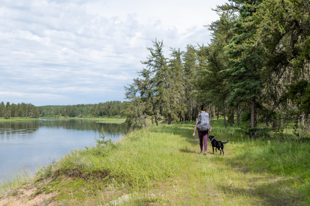
As with any outdoor experience, but especially backcountry hiking and camping destinations, it’s important to practice leave no trace policies. Pack out what you pack in – including biodegradable food, tins and toilet paper.
Best Backcountry Hikes in Saskatchewan
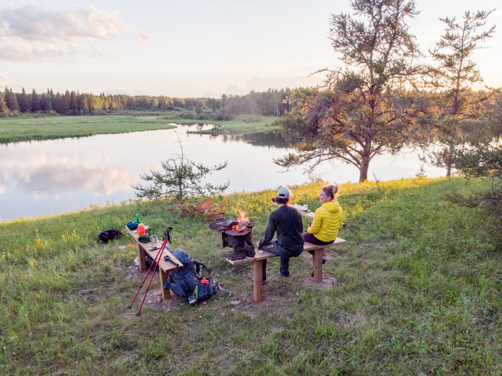
To guide you in accessing the province’s pristine wilderness, here are the best backcountry hikes in Saskatchewan:
1. The Boreal Trail
- Location: Meadow Lake Provincial Park
- Distance: 135km, one-way thru-hike
- Rating: Expert if hiking the thru-trail due to the distance. If hiking shorter sections: beginner as the terrain is fairly flat and the trails are well-groomed and signed.
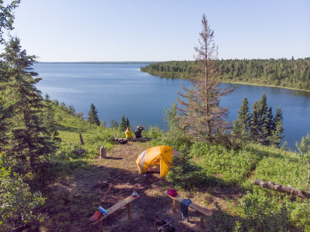
The 135-kilometre Boreal Trail is the king of all backcountry trails in Saskatchewan. As the province’s only thru-hike, it is quickly becoming an iconic bucket list adventure for outdoor enthusiasts in the province.
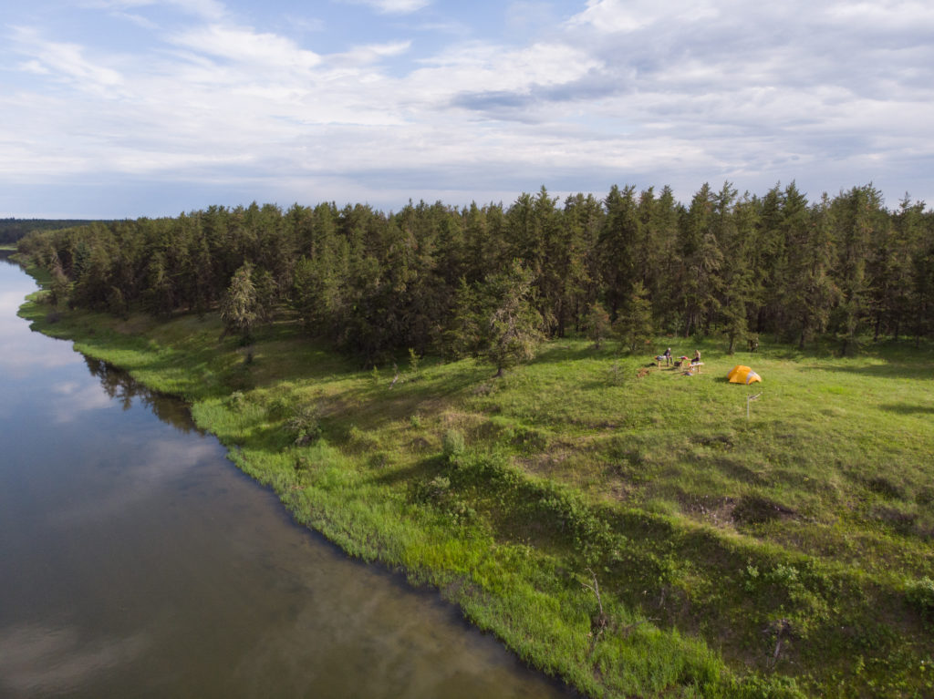
At 1600 square kilometres, Meadow Lake Provincial Park is just a snapshot of the rich ecosystem of the Boreal Forest. Access to 25 pristine freshwater lakes, 15 backcountry campgrounds and ample opportunities for spotting 253 different species of wildlife is what makes this trail (and park) so unique.
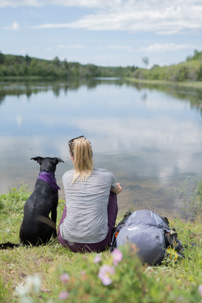
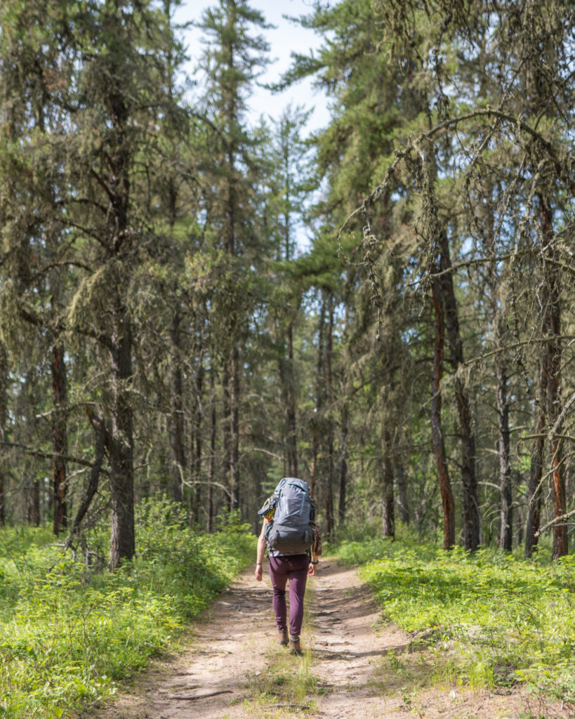
While some choose to split the trail up into weekend or day trips, many are choosing to complete it all in one go. The entire hike is most comfortably completed in 6-7 days. The majority of people hike the trail from west to east, but after hiking it in both directions, I prefer east to west.
READ MORE: How to Hike the Boreal Trail in a Weekend
The park is investing in continued upkeep and development. Over the last several years, they’ve added boardwalks, bridges and new backcountry sites. They’ve hired a team of two full-time workers to maintain the trail – no easy feat considering its length. Trail updates can be found on this Facebook group page.
READ MORE: Hiking the Boreal Trail in Meadow Lake Provincial Park
2. Grey Owl’s Trail
- Location: Prince Albert National Park
- Distance: 40 kilometres, out and back
- Rating: Intermediate
Grey Owl’s trail is an iconic pilgrimage in Saskatchewan. It’s often the first big adventure for Saskatchewan-based backcountry hikers.
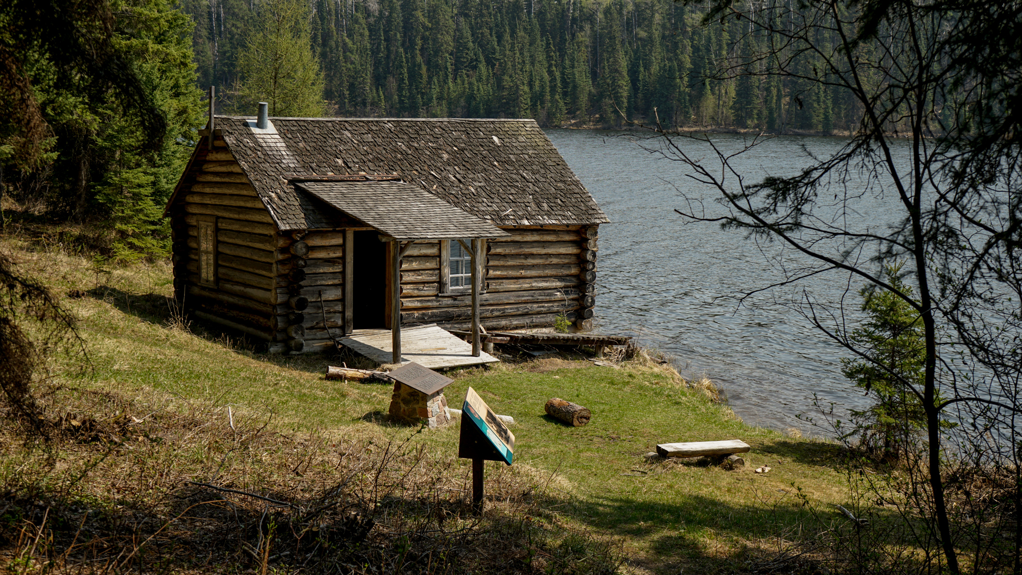
Grey Owl (born Archibald Stansfeld Belaney) was a British citizen credited as Canada’s first naturalist. He wrote about ideas of wilderness conservation and preservation. His cabin is set on the shoreline of Ajawaan Lake and was built in 1931. It’s far enough away to be secluded and accessible only to those willing to put the work in to get there.
“Far enough away to gain seclusion, yet within reach of those whose genuine interest prompts them to make the trip, Beaver Lodge extends a welcome to you if your heart is right.”
Grey Owl
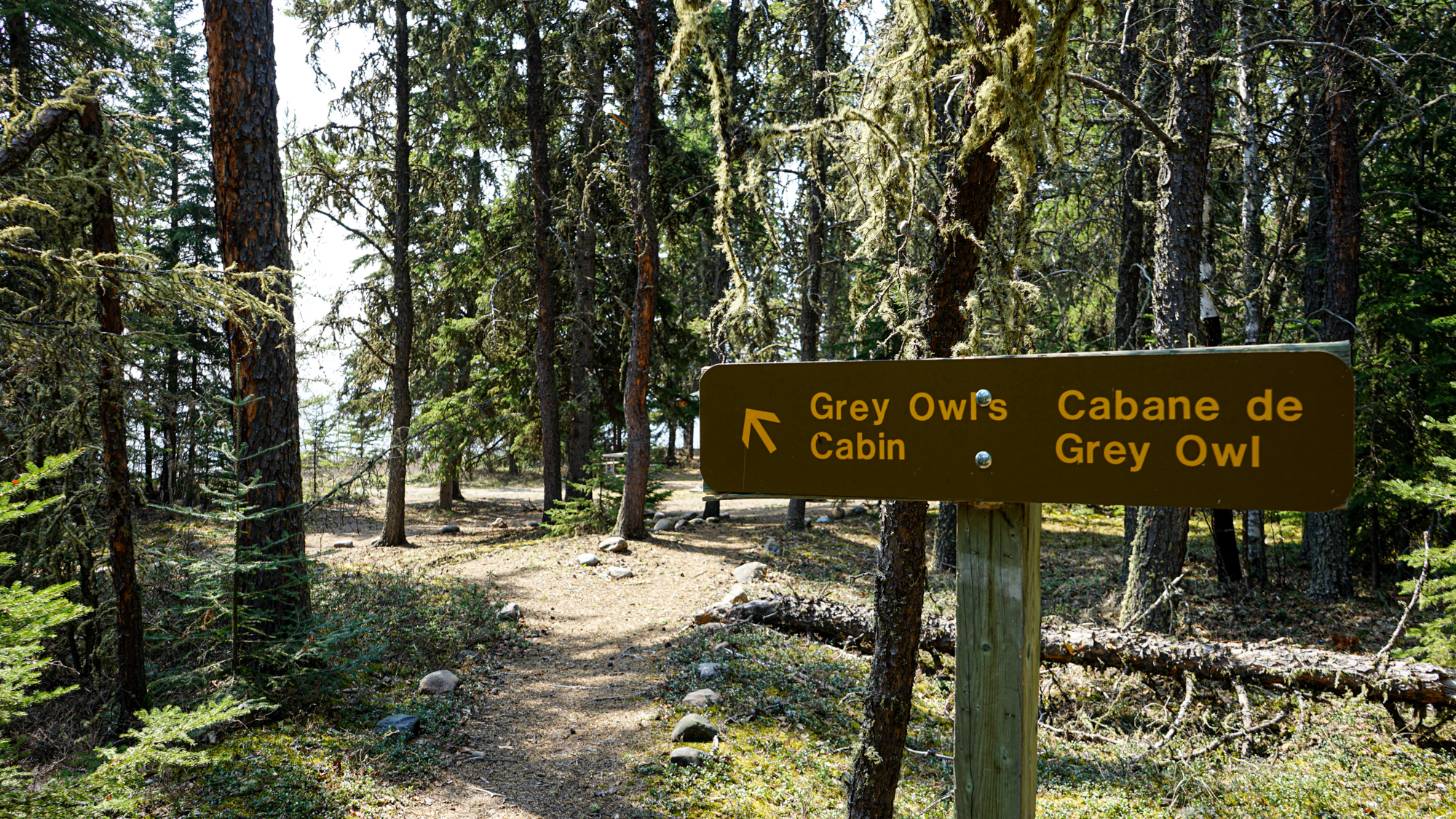
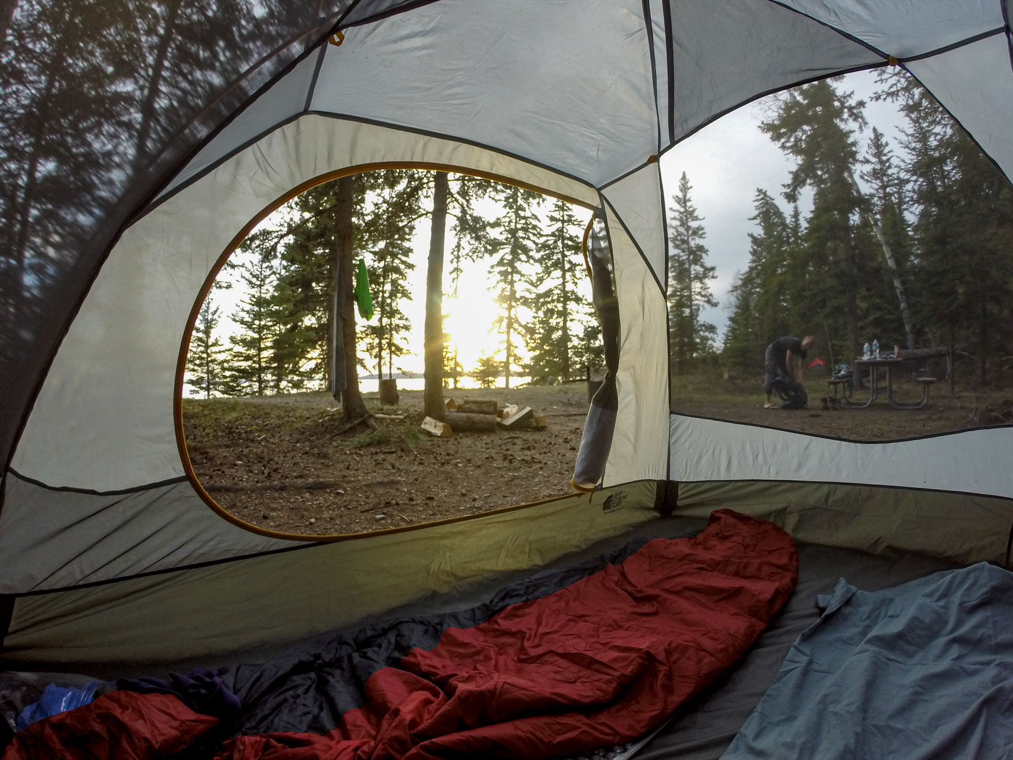
The hike starts from the Kingsmere River parking lot. There are 5 different campsites along the 16.8-kilometre trail. The final hike from Northend campsite to Grey Owl’s cabin is a further 3.2 kilometres. The trail is well trodden and maintained with clear signage along the route. While the hike isn’t particularly difficult there are roots to navigate around and it is long, especially with a heavy backpack.
A helpful tip is to camp at Sandy Beach instead of going all the way to Northend. Not only are there likely to be fewer people at the site, but you don’t have to carry your gear as far. The next morning, get up early and complete the hike through Northend and up to Grey Owl’s Cabin.
Bugs are notorious mid-summer – 30% DEET, bug nets and mosquito coils or a Thermacell are recommended. The park is located in bear territory and carrying bear deterrents is always a good idea.
3. Valley of 1000 Devils
- Location: Grasslands National Park East Block
- Distance: 11-kilometre, loop
- Rating: Intermediate
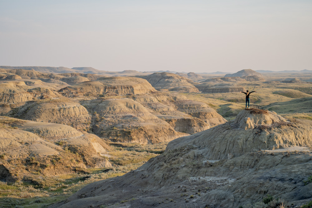
Set in the Rock Creek Badlands, the rolling hills and red-clay hoodoos in the Valley of 1000 Devils of Grasslands National Park East Block are remarkable for several reasons. Not only are there 66-million-year-old dinosaur bones found just beneath the surface, but the current-day views, especially early morning or late afternoon when the shadows stretch through the valley, are spectacular.
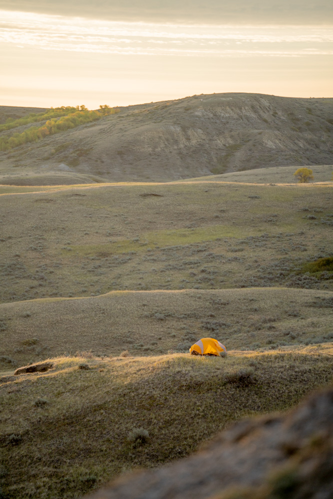
The Valley of 1000 Devils 22-kilometre looped trail traverses mixed-grass prairie and several coulees before reaching the end of the trail at the rim of the badlands. For backcountry campers, this vantage point is a great place to look out from and pick a campsite – anywhere. Visitors are allowed to hike and freedom camp in any location in the vast expanse of hoodoos, buttes and clay and sandstone rock formations. However, you’ll want to choose wisely. The buttes are exposed with no trees or bushes for shelter. Big storms can whip up quickly, especially at night when it’s harder to see the clouds incoming on the horizon.
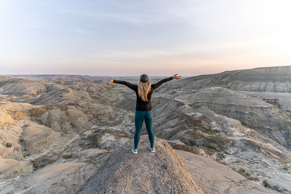
You’ll also want to pack a hat and sunscreen (I like the spray-on kind). The badlands are notoriously hot in the daytime (hotter than the surrounding prairie) with desert-like cold conditions at night. You’ll need more water than a typical backcountry hike. As there are no natural or safe water features to filter water from, it’s a good idea to plan cold meals to save on water weight.
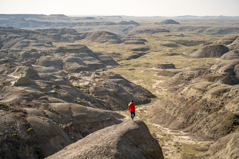
While the trailhead is most often accessed from the park office, it is possible to hike into the Valley of 1000 Devils from Zahursky Point. (This should only be done if you are confident in your map reading and navigational skills). The hike from this southern point does cross Rock Creek and you’ll have to wade or hop across it. I’ve hiked in from both directions and loved the blaze-your-own trail of the southern viewpoint access.
READ MORE: The 10 Most Epic Viewpoints in Saskatchewan
4. Nut Point Trail
- Location: Lac La Ronge Provincial Park
- Distance: 30 kilometres, out and back
- Rating: Intermediate
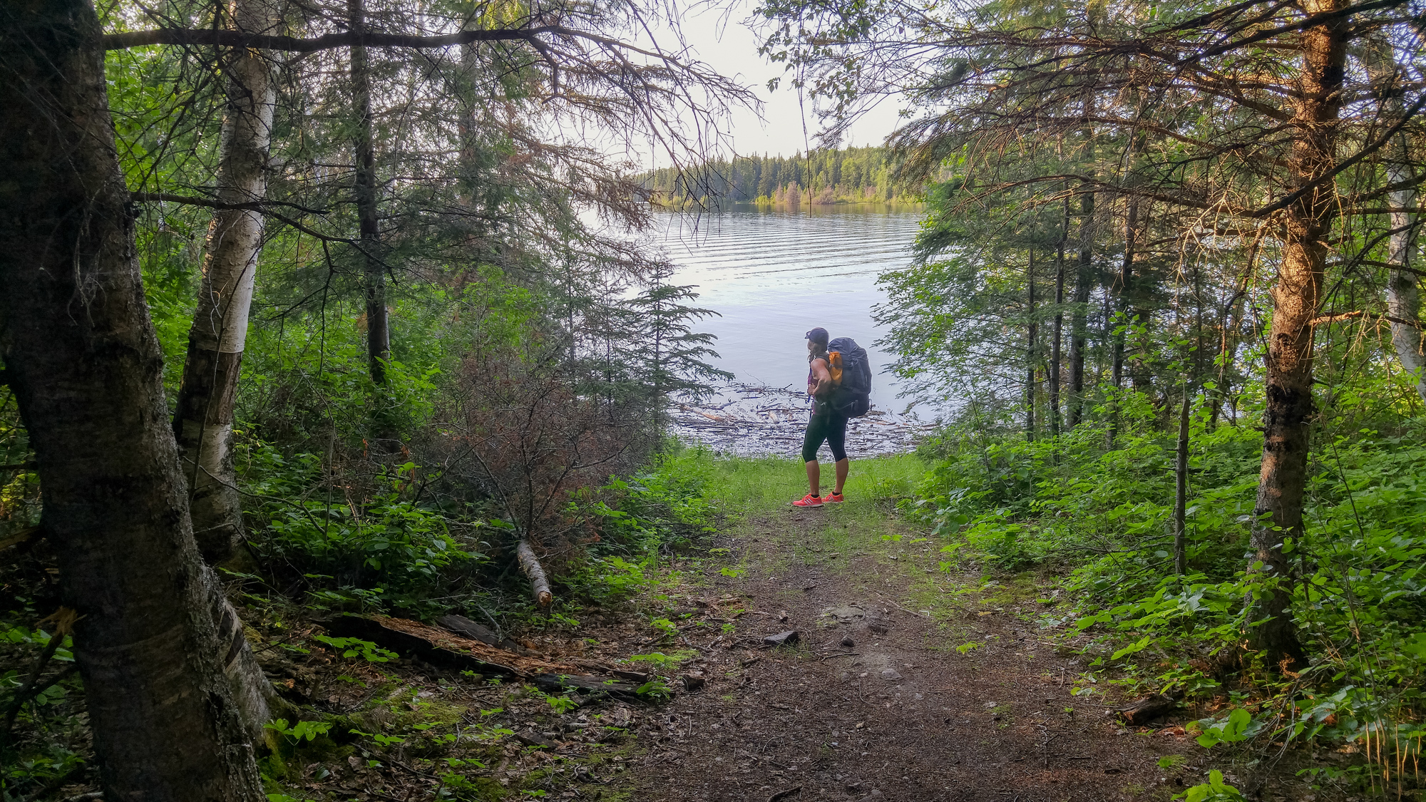
While Lac La Ronge Provincial Park is well-known for its lakes and paddling routes, it’s also popular with hikers. Just a few kilometres north of the community of La Ronge is one of the best backcountry hikes in the province.
The 15-kilometre one-way Nut Point Trail near La Ronge winds up and down along the length of a long peninsula. You’ll travel over the exposed rock of the Canadian Shield and through the wet muskeg that makes up the Boreal Forest.

This hike offers a variety of terrain to navigate. The first 7.5 kilometres of trail are well marked and maintained. (The beginning 1.2-kilometres of the hike link are part of the Downton Lake Trail. This is ideal for those wanting to experience a small snippet of the route.)
The trail passes through the new growth from the 1999 Mallard Fire. At the halfway point is the Nut Portage which is a great location to stop, filter water and have a lunch or snack break. Near the end of the hike, the trail tends to fade a little but ultimately culminates in a lovely first-come, first-served backcountry campsite at the tip of the peninsula.
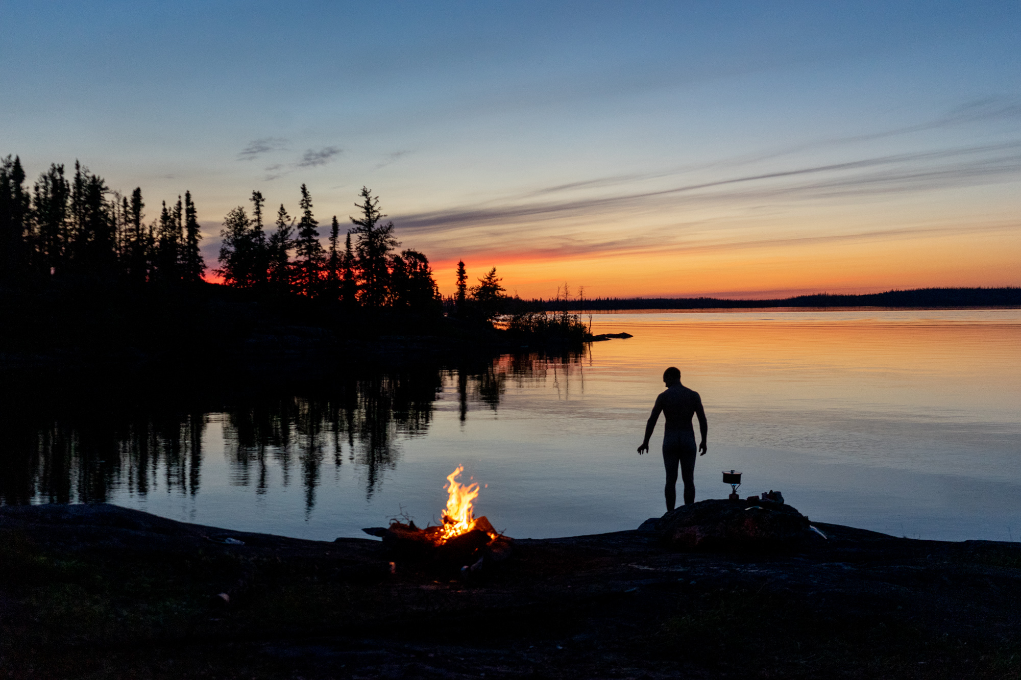
The lake is chilly but refreshing to swim in and sunsets (and potential northern lights) are in line with Saskatchewan’s “Land of Living Skies” slogan. Carry in a fishing rod as the lake offers plenty of opportunities to catch walleye, northern pike, and burbot.
While hiking this trail, it’s best not to leave any valuables in your vehicle overnight as break-in’s have occurred in the parking lot.
The trail system around Lac La Ronge Provincial Park continues to grow thanks to the efforts of the Boreal Outdoor Recreation Association – BORA.
READ MORE: The Best Hiking Trails to See the Autumn Colours

5. Gem Lakes Trail
- Location: Narrow Hills Provincial Park
- Distance: 5.5 kilometres, loop
- Rating: Beginner
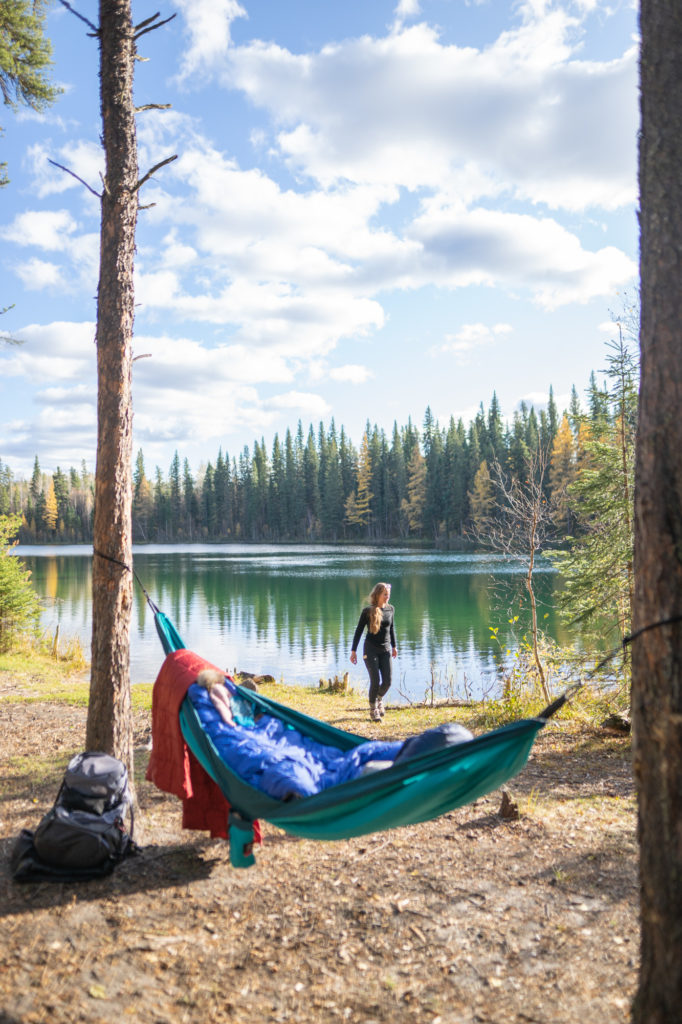
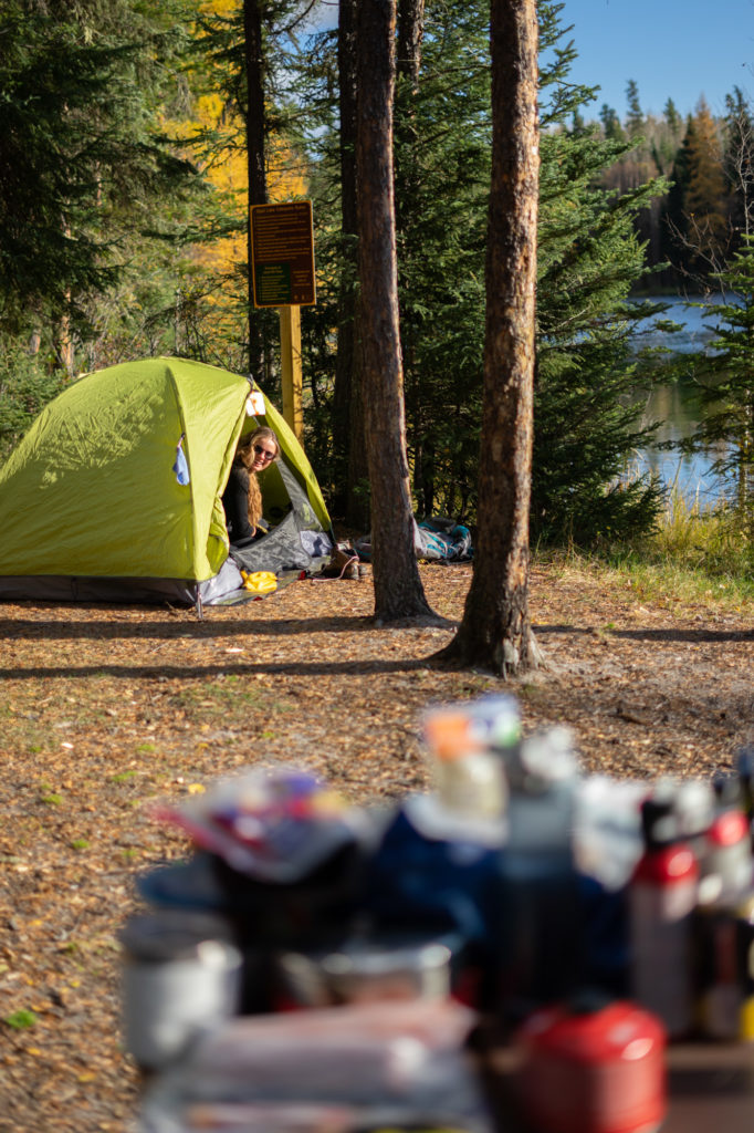
The Gem Lakes Trail in Narrow Hills Provincial Park is one of the best overnight hikes for getting comfortable with backcountry camping due to its short length. The 5.5-kilometre trail loops around 7 kettle lakes named after precious stones pearl, opal, sapphire, jade and diamond. The secret to the crystalline emerald water colour is in the cream-coloured sandy bottoms and lack of water disturbance. No streams or springs feed into the lakes – these natural depressions were left by calving blocks of ice from the glacier that covered Saskatchewan 11,000 years ago.
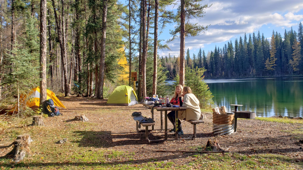
On a day hike, the trail can be completed in two hours. When backpacking, the 12 campsites can be reached quickly due to their relatively close location to the trailhead. (If you forget something in the car, it’s easy to hike out for it. Or you can opt to carry in a couple of loads of gear.)
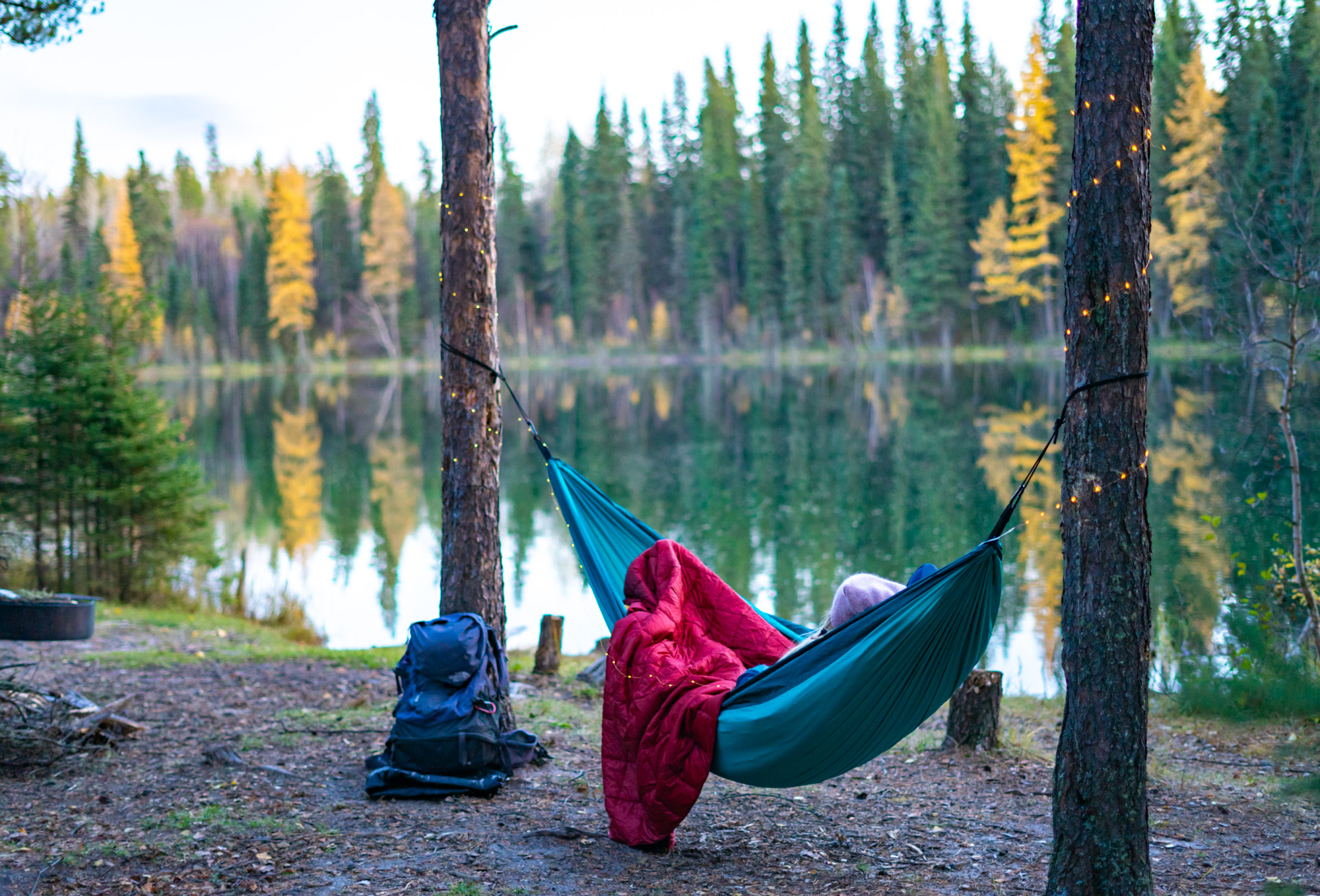
Two campsites are non-reservable and first-come, first-served. The remaining 10 can be booked in advance online on the Sask Parks website. The surrounding trees make this a great location to try hammock camping for the first time. Campsites are equipped with a firepit and picnic table.
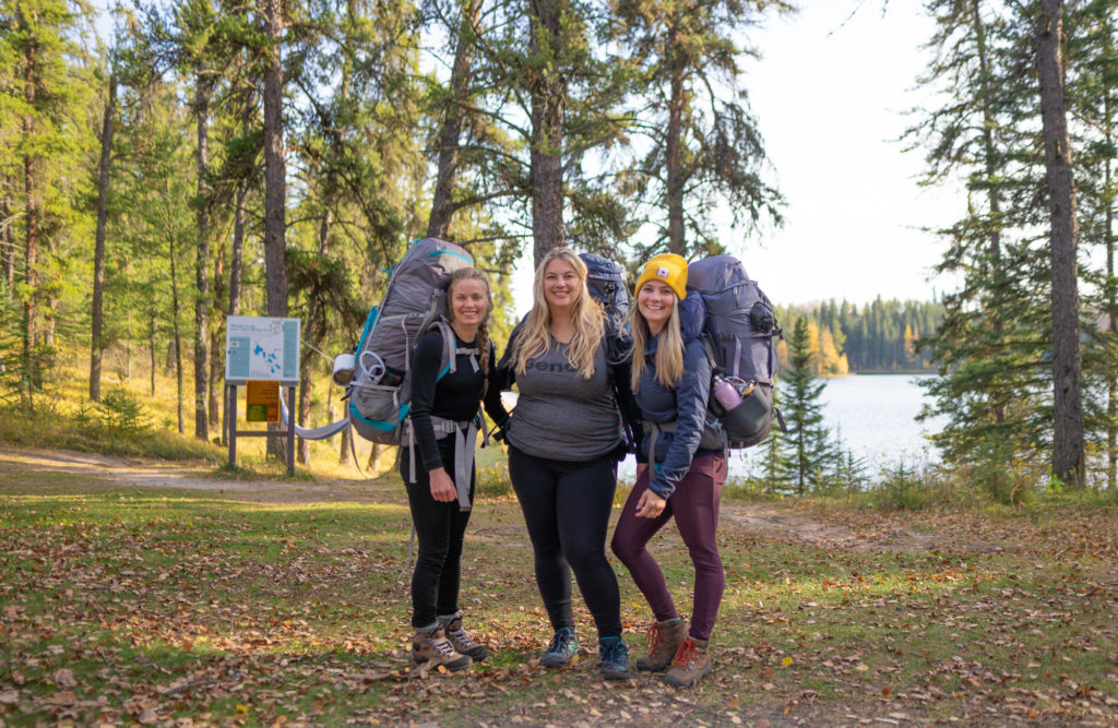
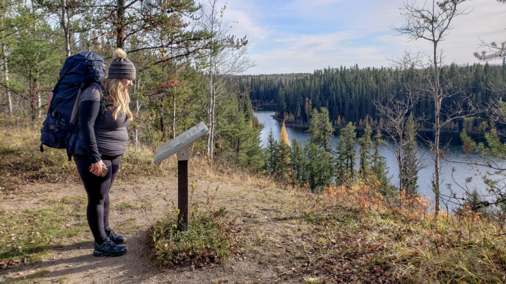
The trail has undergone significant development in the last two years including the addition of four “Garden Throne” loo-with-a-view style outdoor toilets. Stairs have been built going down to Jade Lake and Diamond Lake. In 2022, kayak carts have also been added for those who prefer to portage between lakes and try fly fishing.
From late fall to early spring, the road to access the Gem Lakes is not maintained. Cell service is limited.
READ MORE: Exploring Narrow Hills Provincial Park
6. Rice River Canyon
- Location: 94KM east of Carrot River on Highway 55
- Distance: 21.6 kilometres, out and back, 345m elevation gain into the river forks
- Rating: Expert, due to fluctuating river levels and lack of established trail
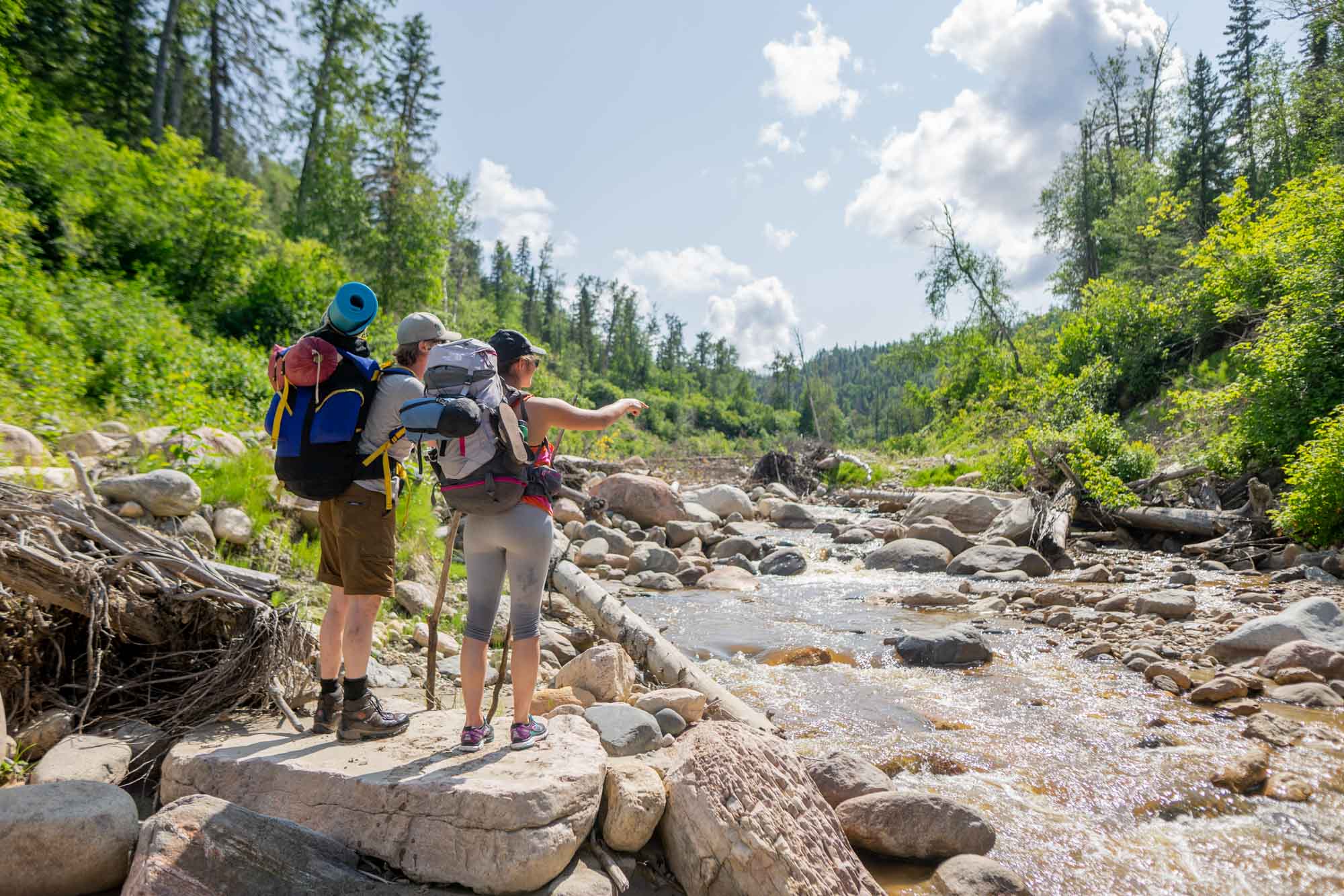
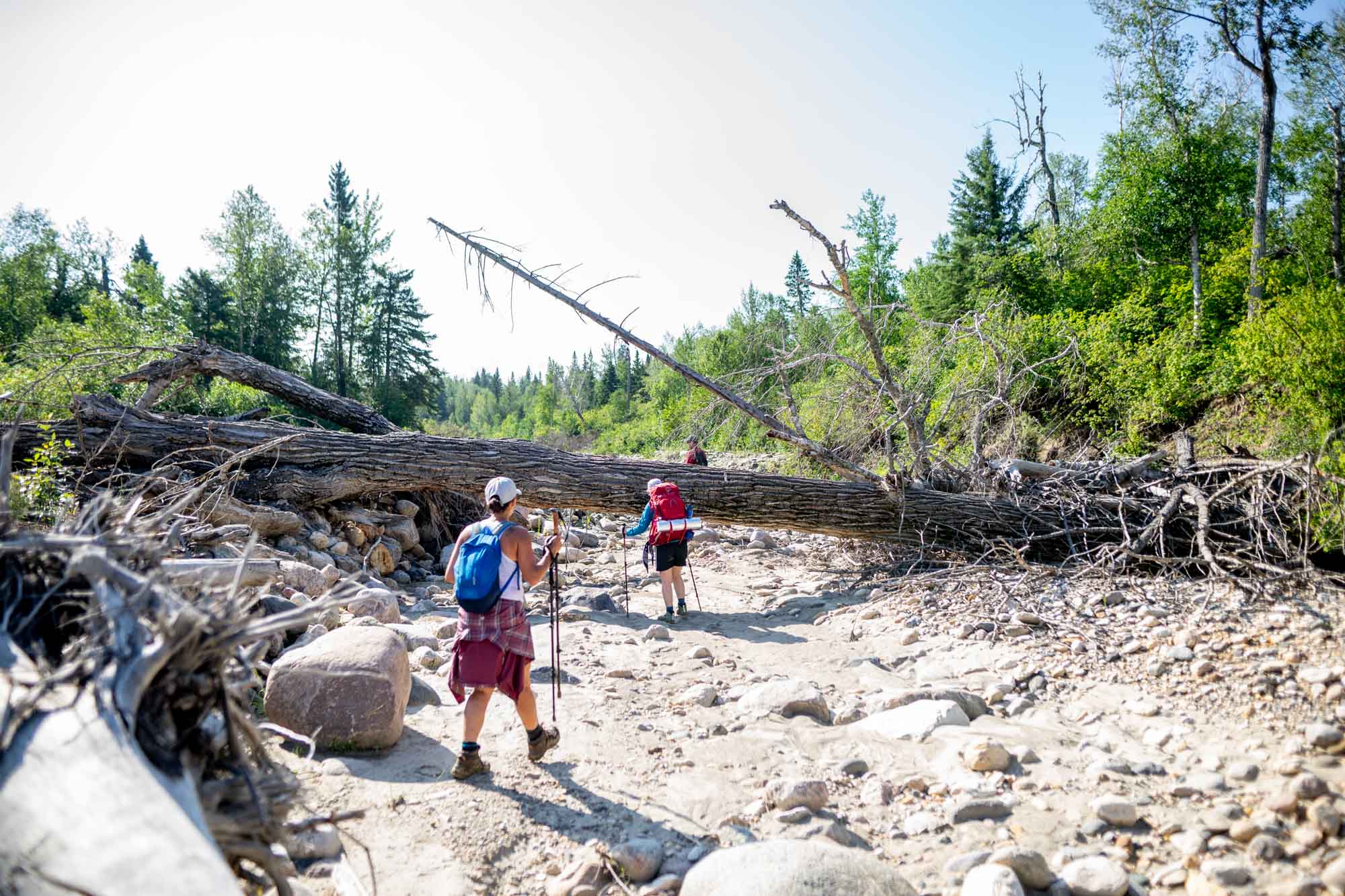
It’s “choose-your-own-adventure” when hiking the 10.8-kilometre one-way route to the river forks on the Rice River Canyon. There is no official trail as you’re essentially hiking up a river. Water levels fluctuate throughout the year from ankle deep to waist deep (or higher). It’s recommended to hike this trail later in the season.
The Rice River Canyon Ecological Reserve is located on the northwest side of the Pasquia Hills. What makes this trail so unique is the 120-metre-high valley walls that have been carved into the length of the 20-kilometre river valley.
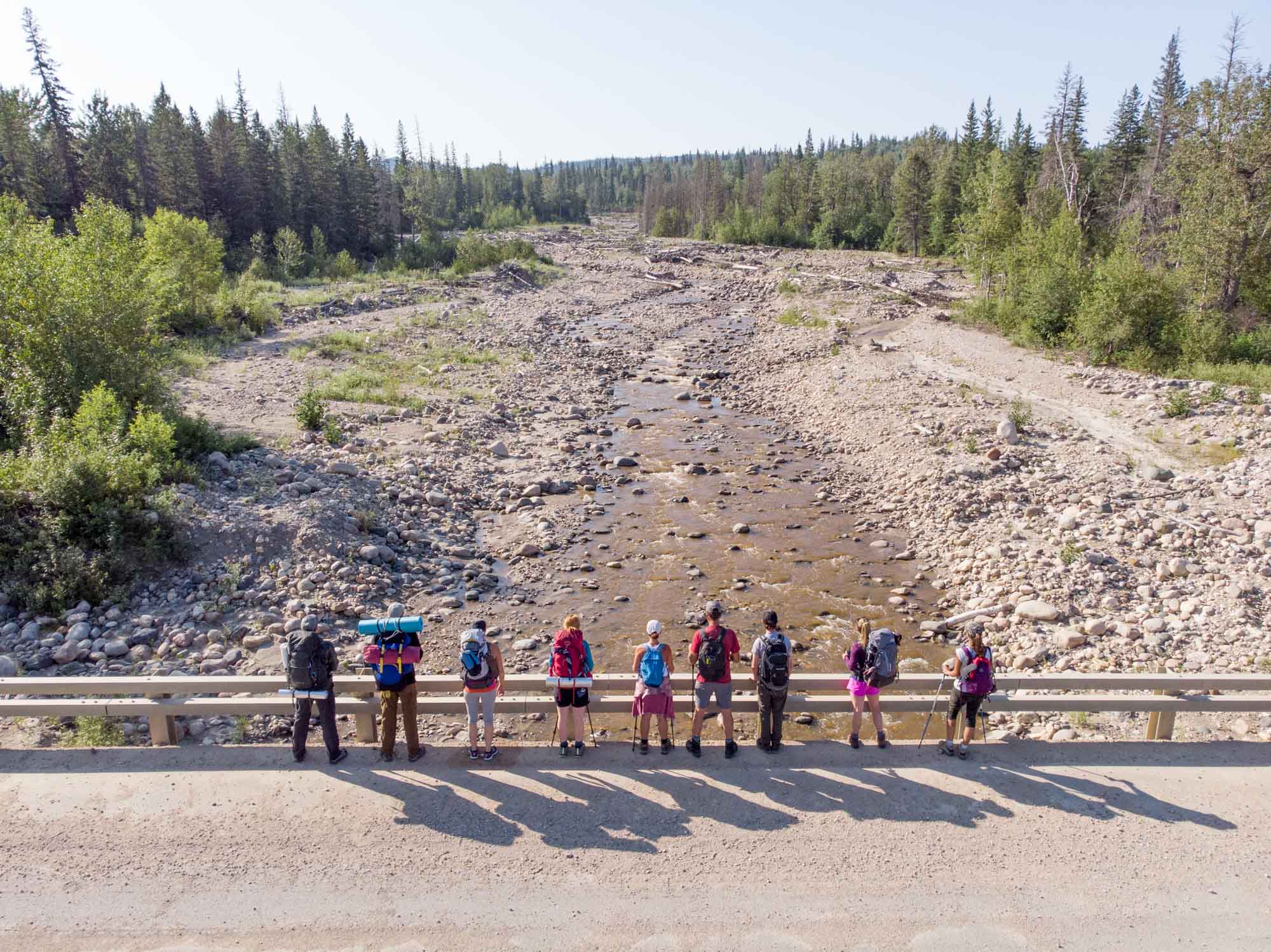
Along the way, you’ll encounter massive boulders, 30-metre washed-out trees and more river crossings than you can count. (Wear ankle-high hikers to protect from rocks in river crossings. Even better if they’re not waterproof as you’re feet are guaranteed to be soaked and water won’t drain efficiently with the water proofing).
It’s true wilderness with no official campsites along the trail. However, there are several campfire rings within the first couple kilometres of the trailhead as well as a campfire ring at about the 7-kilometre mark. (Stone campfire rings can be easily missed in the wide floodplain).
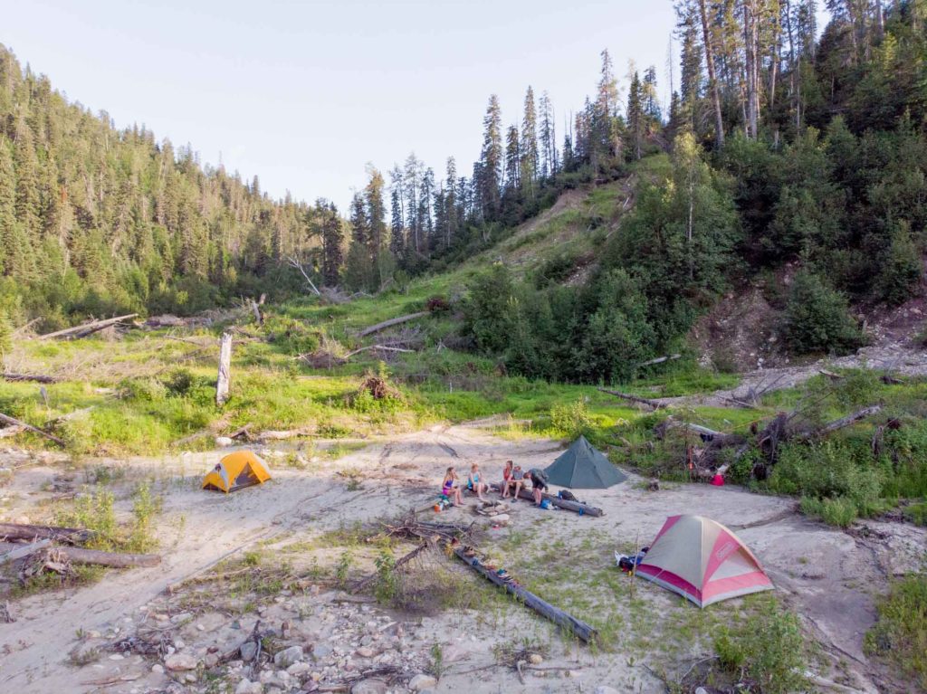
We hiked all the way into the river forks and camped at the primitive campsite on the west side of the river. Logs had been positioned as benches and we upgraded the firepit to a second ring of rocks. There are several flat areas and rock-free spots perfect to pitch tents.
Rice River Canyon is truly a unique wilderness hike for those seeking adventure. The scenery is unlike most destinations in the province and the trip is highly rewarding for those that choose to attempt it.
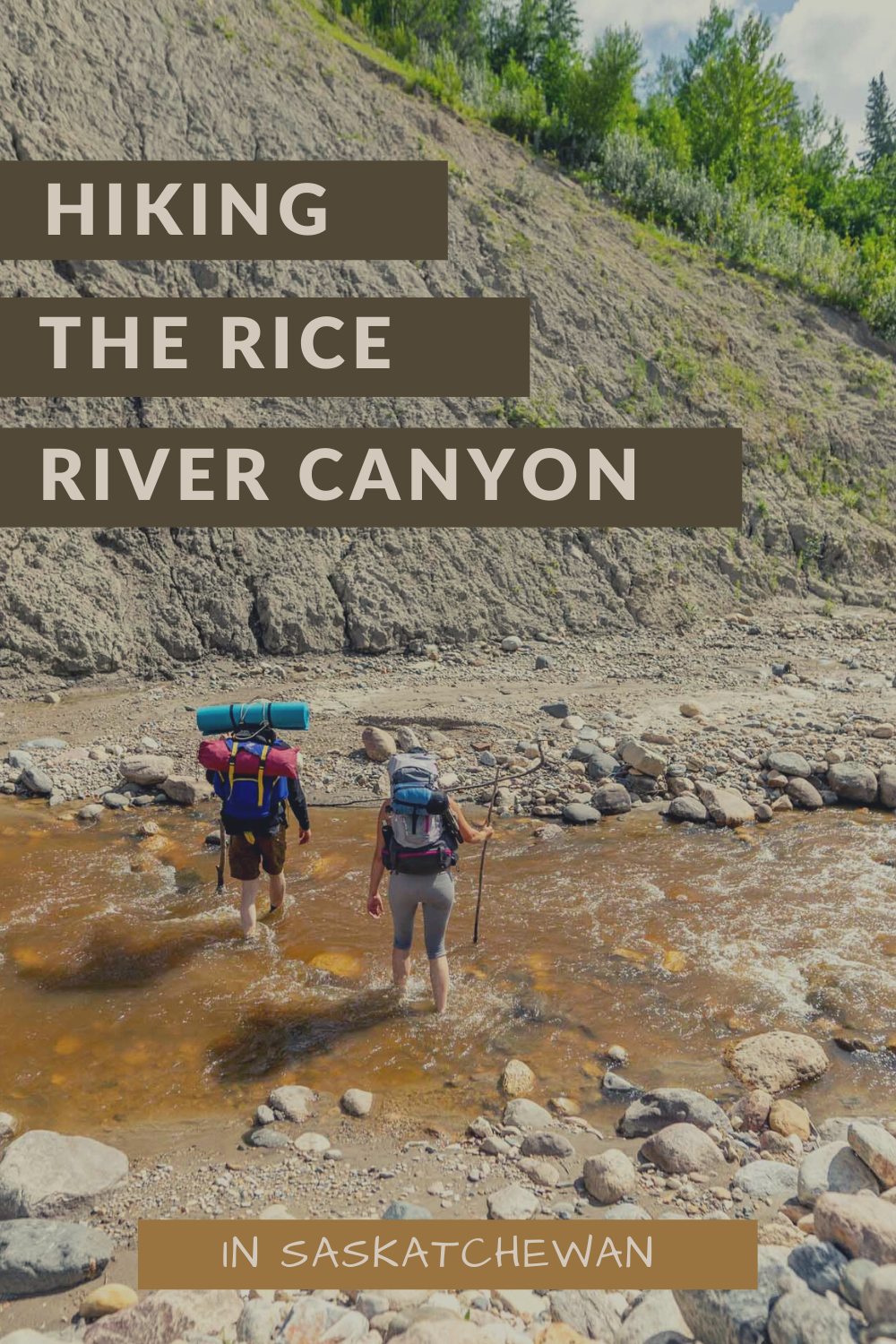
For a full description of how to hike in this area and everything you need to know, you can read more here: Everything you Need to Know When Hiking the Rice River Canyon

3 More Backcountry Hiking Locations in Saskatchewan
There are three additional locations worth mentioning for backcountry hiking and camping.
1. Elk Trail off Highway 263 in Prince Albert National Park offers two locations to backcountry hike and camp. Fish Lake campground is 13 kilometres one way while Camp Lake is an additional 2 kilometres. The wide trail takes you through a mixed aspen and white spruce forest. There is fresh water available to filter along the hike.
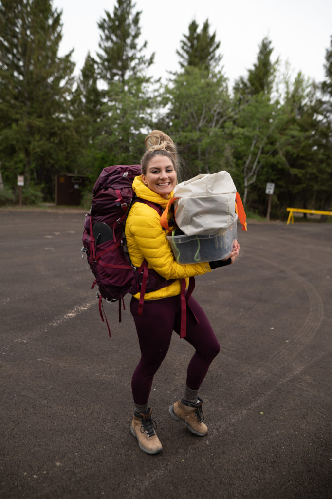

2. For a very beginner-friendly location to get comfortable with backcountry hiking and camping, Douglas Provincial Park has four walk-in sites off the main campground. The distance to each site varies but all are under 200 hundred metres so it’s easy to carry in more gear and get comfortable in the “backcountry.”
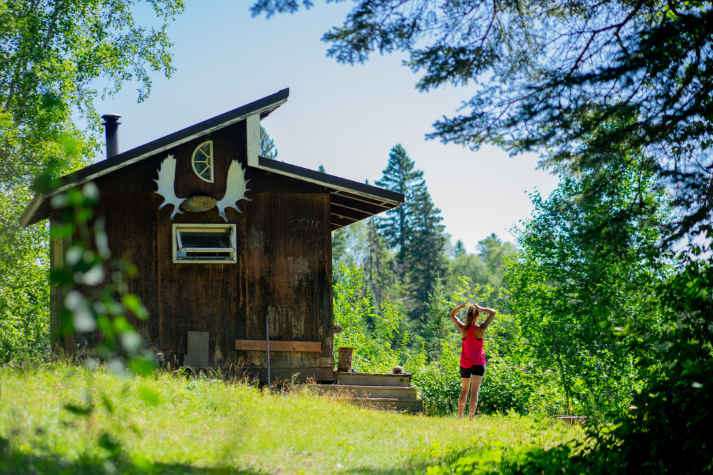
3. Duck Mountain Provincial Park has more than 50 kilometres of trails as part of its interconnected network of cross-country ski trails. In the summer months, hikers can explore these trails and visit the 6 warm-up shelters along the way. The trails are wide with plenty of rolling hills (and usually a few downed trees) which makes for a good challenge. When I hiked in, I also carried in a blow-up paddleboard. It was pretty incredible launching it out on Moose Lake and enjoying the serenity of the trails in the summertime.
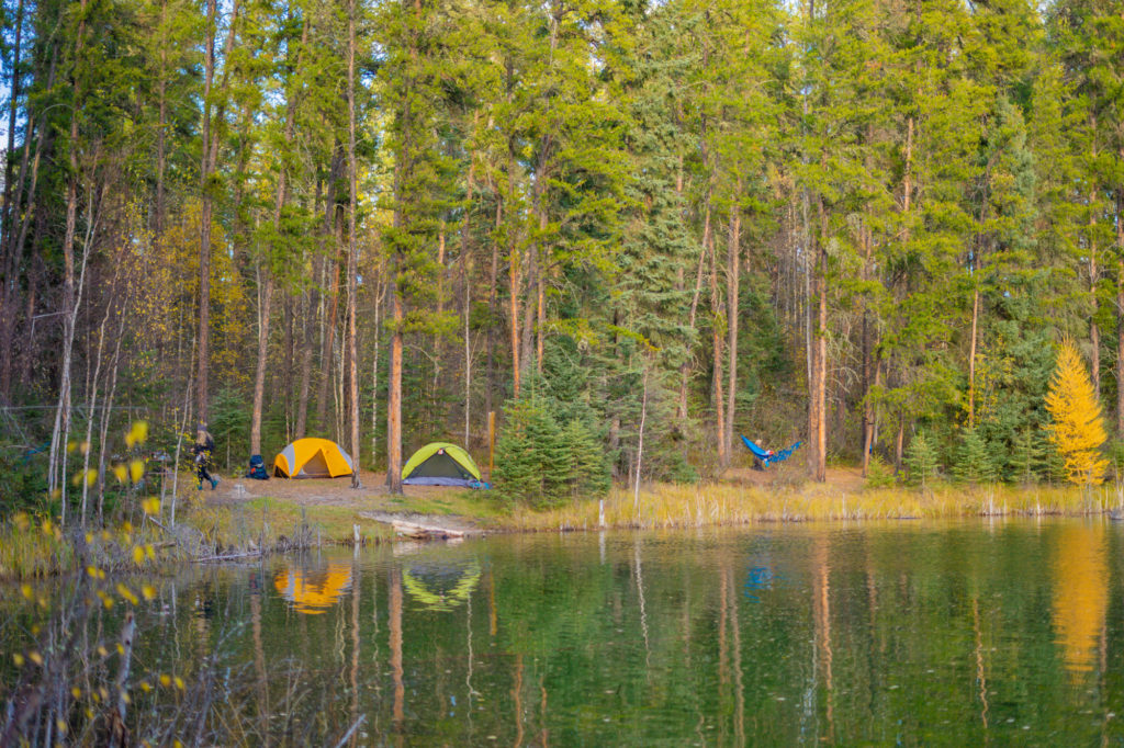
Random Backcountry Camping in Saskatchewan
Camping is limited to designated campsites in most provincial parks. However, camping is allowed on crown land, provincial forests, national parks and along most rivers.
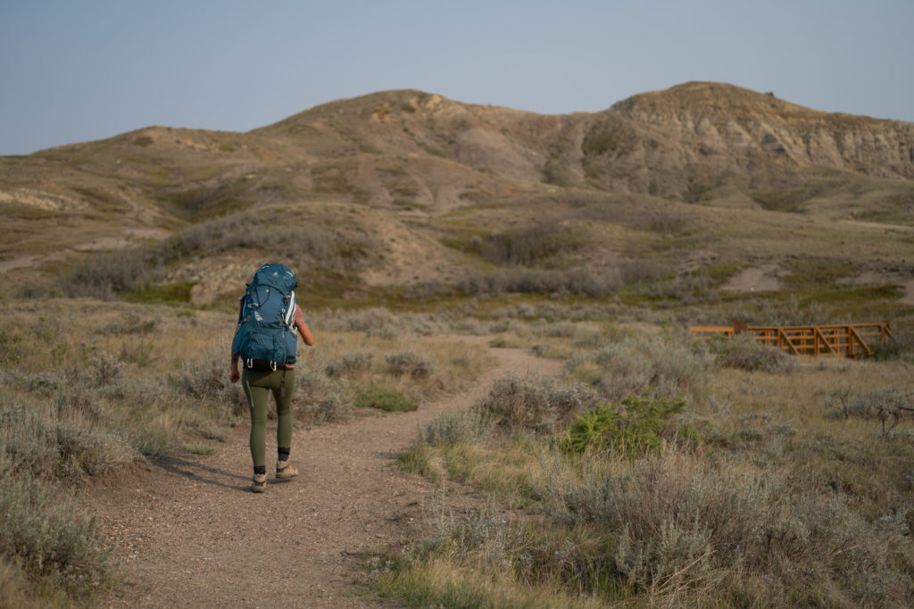
Backcountry Camping in Saskatchewan’s National Parks
In Prince Albert National Park and both Grasslands National Park East Block and West Block, visitors can hike out and experience random backcountry camping. Hikers must be a minimum of 2 kilometres (as the crow flies) from any roadway, trail, or park infrastructure. (This is further than you might think so you’ll want to choose a location on the map prior to leaving).
In Prince Albert National Park there is no fee beyond the park entry fee for random backcountry camping. However, there are a few areas that are off limits including near Kingsmere, Crean, Waskesiu Lake and anywhere in between the Heart Lakes, Bagwa and Lily. A free permit is required and can be obtained in person at the Visitor Centre or South Gate or issued by e-mail 24 hours in advance. Hikers must inform the park of their intended destination so park wardens are aware of where people are in the park.
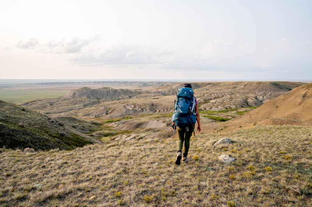
In Grasslands National Park, random backcountry camping costs $10.98. This does not include the cost of a park pass. In the East Block, camping is in desert-like conditions. Evenings can be cold despite the heat of the day. There are no natural water sources safe to drink from so campers need to carry in all necessary water. (You’ll want to carry more than you expect as there is no shade and temperatures can be scorching hot during the day.).
In the West Block, visitors are recommended to wear gaiters and carry wildlife protection as there are rattlesnakes and free-ranging bison in the area.
READ MORE: Where to Winter Camp in Saskatchewan
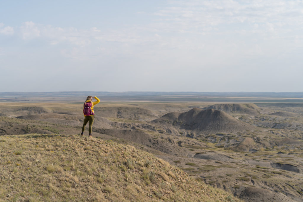
Like this Post on Backcountry Hikes in Saskatchewan? Pin it to Pinterest


5 Replies to “The Best Backcountry Hikes in Saskatchewan”